Satellite imagery has revolutionized modern agriculture by providing farmers with unprecedented insights into crop development, soil conditions, and resource management. Utilizing high-resolution data captured from space, agricultural professionals can monitor vast fields in real time, optimize input usage, and make informed decisions that enhance productivity while reducing environmental impact. This article explores practical strategies and cutting-edge methods for integrating satellite data into everyday farm operations, along with valuable tips to maximize the benefits of remote sensing.
Understanding Satellite Imagery and Its Types
Before incorporating satellite imagery into farm management, it’s important to grasp the basic concepts and various data types available:
- Optical Imagery: Captured in visible and near-infrared bands, useful for assessing vegetation vigor through indices like NDVI.
- Synthetic Aperture Radar (SAR): Penetrates clouds and operates day or night, ideal for tracking soil moisture and structural changes.
- Multispectral and Hyperspectral: Provide dozens to hundreds of bands, enabling precise detection of nutrient deficiencies and pest infestations.
Key parameters to consider include spatial resolution (size of the smallest feature visible), temporal resolution (frequency of revisit), and spectral resolution (range of wavelengths captured). High resolution fosters detailed analysis but often comes at a higher cost and longer processing times.
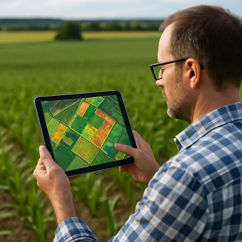
Monitoring Crop Health with Vegetation Indices
Vegetation indices are mathematical combinations of spectral bands designed to highlight specific plant characteristics:
- Normalized Difference Vegetation Index (NDVI): Widely used to measure green biomass and photosynthetic activity.
- Enhanced Vegetation Index (EVI): Accounts for canopy background and atmospheric influences, improving accuracy in dense vegetation.
- Soil Adjusted Vegetation Index (SAVI): Compensates for bare soil effects, especially in early growth stages.
By mapping these indices over time, you can:
- Spot underperforming zones requiring supplemental fertility or irrigation.
- Detect stress caused by disease, pests, or water scarcity before it becomes visible to the naked eye.
- Quantify crop vigor and predict potential yield variances across your fields.
Regularly scheduling image acquisition—weekly or biweekly—helps establish baseline trends, enabling you to recognize anomalies quickly and implement corrective actions.
Optimizing Soil and Water Management
Efficient resource allocation is critical for sustainable farming. Satellite data supports:
- Soil Moisture Mapping via SAR and thermal bands, guiding precise irrigation scheduling to avoid both drought stress and waterlogging.
- Topographic analysis using digital elevation models (DEMs) derived from stereo satellite imagery, which helps design drainage systems and prevent erosion.
- Variable Rate Application (VRA) of fertilizers and amendments based on spatial soil fertility maps, ensuring each zone receives the right nutrient dosage.
Combining satellite-derived moisture estimates with on-ground sensor readings creates a robust irrigation plan. Implementing drip or center-pivot systems guided by this data can yield significant water savings and healthier root development.
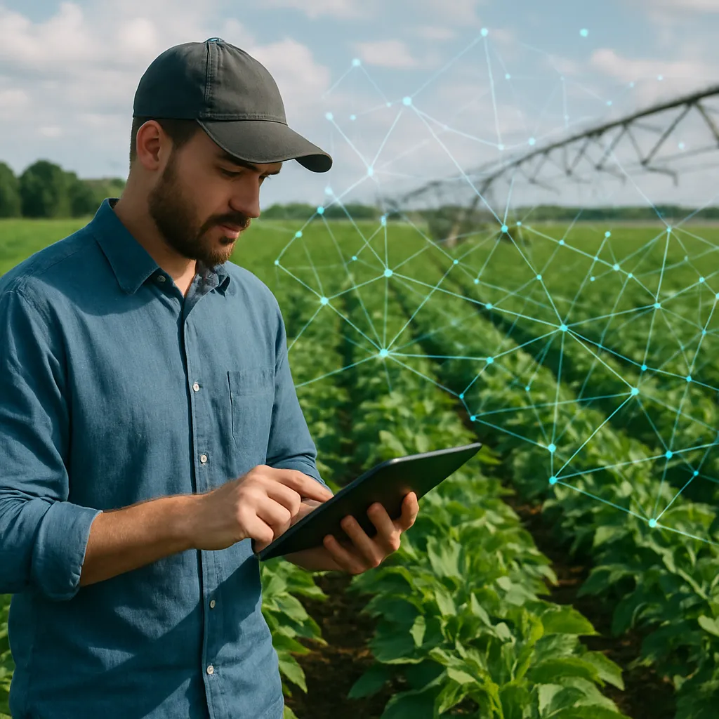
Integrating Satellite Data into Precision Agriculture Platforms
To fully leverage satellite imagery, integration with digital platforms and software is essential. Consider these best practices:
- Choose a farm management system that supports direct ingestion of GeoTIFF or cloud-based tile services (e.g., WMS, WMTS).
- Implement GIS tools for layering diverse datasets (soil tests, yield maps, satellite indices) into a unified dashboard.
- Automate alerts when vegetation indices cross predefined thresholds—enabling swift responses to emerging issues.
Many platforms offer customizable modules for zone delineation, prescription generation, and real-time collaboration with agronomists. Investing in user-friendly interfaces will encourage adoption among staff and reduce training time.
Practical Tips for Small and Large-Scale Operations
Whether you manage a boutique vineyard or thousands of hectares of row crops, these tips will help you maximize the value of satellite insights:
- Start with a pilot plot: Test workflows on a representative area to refine processes before scaling up.
- Combine drones and satellites: Use drones for ultra-high-resolution imagery in critical zones and satellites for regular, broad coverage.
- Cross-validate: Ground-truth satellite observations with soil probes, canopy sensors, and manual scouting to maintain data accuracy.
- Leverage free data: Platforms like Sentinel-2 and Landsat offer no-cost imagery with 10–30 meter resolution; perfect for initial experimentation.
- Budget for analytics: High-end processing and AI-driven pattern recognition come at a price—factor this into your technology investment plan.
Challenges and Future Directions in Satellite Farming
While satellite imagery offers immense promise, be aware of common hurdles:
- Cloud cover and atmospheric interference can limit optical data availability; SAR provides a reliable workaround but may require specialized expertise.
- Data volume and complexity: Large farms generate terabytes of imagery—ensure robust data storage and processing capabilities.
- Interpretation skills: Advanced analytics and machine learning models demand training or collaboration with data scientists.
Emerging trends include integration with IoT sensor networks, use of Artificial Intelligence for automated anomaly detection, and the democratization of satellite services for smallholders through mobile apps. By staying informed about technological advancements and forging partnerships with agri-tech providers, you can maintain a competitive edge and foster a more sustainable future for your farm.
