How to Use Satellite Imagery for Farm Management
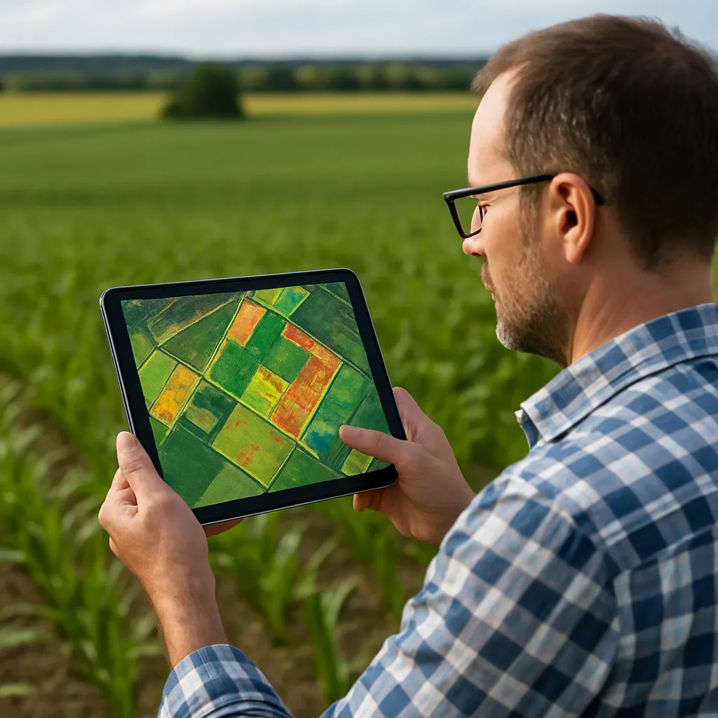
Satellite imagery has revolutionized modern agriculture by providing farmers with unprecedented insights into crop development, soil conditions, and resource management. Utilizing high-resolution data captured from space, agricultural professionals can monitor…