
Geographic Information Systems (GIS) mapping has revolutionized the way farmers approach farm planning, offering a powerful tool to enhance productivity and sustainability. By integrating spatial data with traditional farming practices, GIS mapping provides a comprehensive view of the land, enabling farmers to make informed decisions that optimize resource use and crop yields.
Understanding GIS Mapping in Agriculture
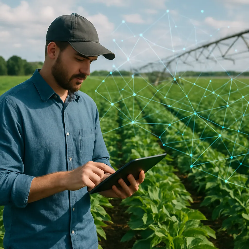
GIS mapping is a technology that captures, stores, analyzes, and presents spatial or geographic data. In agriculture, it allows farmers to visualize and interpret data related to their land, such as soil types, topography, and weather patterns. This information is crucial for making strategic decisions about crop placement, irrigation, and fertilization.
One of the primary benefits of GIS mapping is its ability to layer different types of data. For example, a farmer can overlay soil quality maps with weather data to determine the best planting times and locations. This layered approach provides a holistic view of the farm, helping to identify areas that may require more attention or resources.
Moreover, GIS mapping can be used to monitor changes over time. By comparing historical data with current conditions, farmers can track trends and make predictions about future challenges. This proactive approach allows for better risk management and long-term planning.
Implementing GIS Mapping for Farm Planning
To effectively implement GIS mapping in farm planning, farmers need to follow a series of steps that ensure accurate data collection and analysis. The first step is to gather relevant data, which can include satellite imagery, soil samples, and climate information. This data is then input into a GIS software program, where it can be analyzed and visualized.
Once the data is in the system, farmers can begin to create maps that highlight key features of their land. These maps can be customized to show specific information, such as areas prone to flooding or regions with high soil fertility. By having this information readily available, farmers can make more informed decisions about where to plant certain crops or how to allocate resources.
Another important aspect of GIS mapping is its ability to facilitate precision agriculture. By using GPS technology, farmers can apply inputs like water, fertilizers, and pesticides with pinpoint accuracy. This not only reduces waste but also minimizes the environmental impact of farming practices.
Furthermore, GIS mapping can be integrated with other technologies, such as drones and sensors, to provide real-time data on crop health and growth. This integration allows for continuous monitoring and adjustment, ensuring that crops receive the optimal conditions for growth.
Challenges and Considerations
While GIS mapping offers numerous benefits, there are also challenges that farmers must consider. One of the main challenges is the cost of implementing GIS technology. The initial investment in software, hardware, and training can be significant, especially for small-scale farmers. However, the long-term benefits often outweigh the initial costs, as GIS mapping can lead to increased efficiency and higher yields.
Another consideration is the need for accurate and up-to-date data. The effectiveness of GIS mapping relies heavily on the quality of the data being used. Farmers must ensure that they are collecting data from reliable sources and updating their maps regularly to reflect current conditions.
Additionally, there is a learning curve associated with GIS technology. Farmers need to be trained in how to use the software and interpret the data it provides. This may require additional time and resources, but the investment in education can lead to more effective farm management.
The Future of GIS Mapping in Agriculture
As technology continues to advance, the potential applications of GIS mapping in agriculture are expanding. New developments in machine learning and artificial intelligence are being integrated with GIS systems to provide even more sophisticated analysis and predictions. These advancements have the potential to further enhance farm planning and sustainability.
Moreover, as the global population continues to grow, the demand for efficient and sustainable farming practices will only increase. GIS mapping offers a solution to this challenge by enabling farmers to maximize their resources and minimize their environmental impact.
In conclusion, GIS mapping is a powerful tool that can significantly improve farm planning. By providing a comprehensive view of the land and enabling precision agriculture, it helps farmers make informed decisions that enhance productivity and sustainability. While there are challenges to its implementation, the benefits of GIS mapping make it a valuable investment for the future of agriculture.
