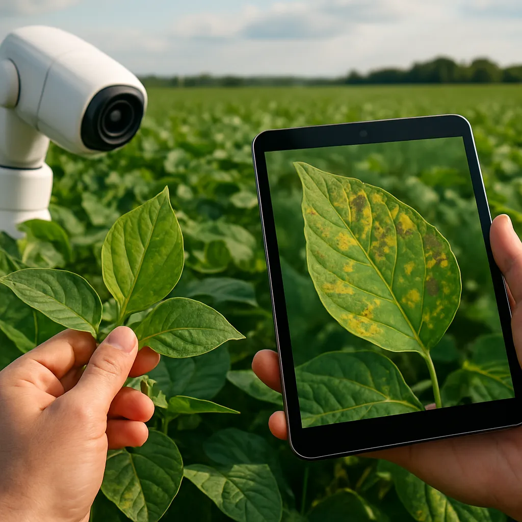
How Artificial Intelligence Helps Detect Crop Diseases Early
Embracing the digital era, the integration of artificial intelligence in agriculture is revolutionizing how farmers manage fields and protect crops. Technological breakthroughs are delivering unprecedented insights into plant health, enabling…
