The integration of unmanned aerial vehicles into farming practices represents a leap forward in cultivating more productive and environmentally responsible crops. By harnessing real-time data, farmers can respond to field conditions with unprecedented speed and accuracy. This article explores the multifaceted role of drones, shares actionable tips for their effective deployment, and examines the path ahead for aerial technology in agriculture.
Understanding Drone Technology in Agriculture
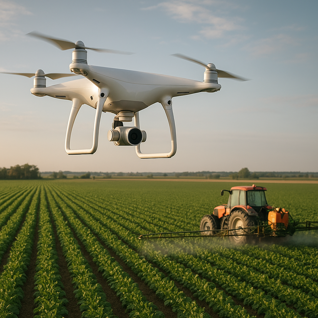
Advancements in drone design have enabled lightweight, durable platforms capable of carrying sophisticated sensors and sprayer systems. These aerial devices provide farmers with an elevated vantage point, transforming the way fields are managed. Key components include GPS-guided navigation, multispectral and thermal cameras, and payload modules for targeted applications.
Core Components and Capabilities
- Precision navigation systems that map field boundaries and flight paths with centimeter-level accuracy
- Multispectral imaging sensors to capture plant health indicators beyond visible light
- Thermal cameras for detecting water stress and irrigation inefficiencies
- Modular payload drones able to distribute seeds, fertilizer, and crop protection agents
Data-Driven Decision Making
By collecting high-resolution imagery at regular intervals, farmers can perform detailed analysis of crop development. Vegetation indices such as NDVI (Normalized Difference Vegetation Index) highlight areas of vigor or decline. Early identification of stress factors allows for swift intervention, reducing the risk of yield losses.
Practical Applications and Tips
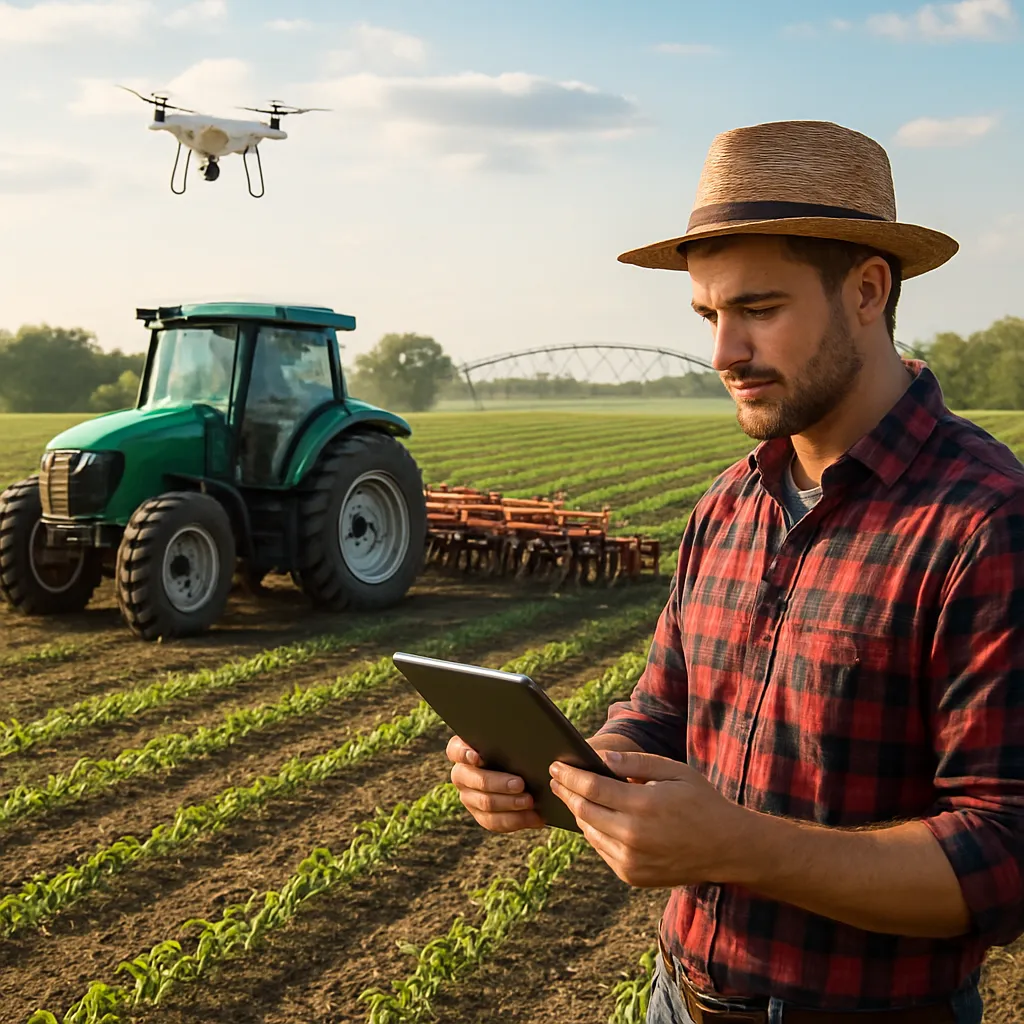
Deploying drones effectively requires a blend of technical know-how and agronomic expertise. Below are guidelines and best practices to maximize return on investment and achieve sustainable outcomes.
Pre-Flight Planning
- Conduct risk assessments to identify obstacles, legal restrictions, and weather conditions.
- Program flight paths using farm management software for repeatable coverage.
- Calibrate sensors before each mission to ensure accurate readings.
Precision Spraying Strategies
When applying agrochemicals via drone, consider the following:
- Adjust droplet size and spray volume based on crop canopy density.
- Utilize pest detection data to target infested zones only, reducing chemical usage.
- Monitor wind speed and humidity to minimize drift and optimize coverage.
Enhanced Monitoring Techniques
Regular aerial surveys support proactive crop management:
- Schedule weekly flights to track emergence rates and identify bare patches.
- Use thermal imaging to locate areas with inadequate irrigation or drainage issues.
- Overlay historical data to assess soil compaction or nutrient depletion trends.
Challenges and Future Directions
While drones unlock significant advantages, they do present hurdles related to regulation, data management, and operational capacity. Addressing these challenges will be essential for widespread adoption.
Regulatory and Safety Considerations
Complying with national aviation laws is paramount. Farmers must obtain necessary permits, respect no-fly zones, and maintain visual line-of-sight or secure waivers for beyond-line-of-sight operations. Implementing collision avoidance systems enhances overall safety.
Data Integration and Interpretation
Vast volumes of data generated by frequent flights demand robust software platforms and analytical skills. Collaboration with agronomists and data scientists ensures meaningful insights. Continual training on new tools fosters a culture of informed, technology-driven management.
Innovations on the Horizon
Emerging trends promise to elevate drone utility even further:
- Swarm technology enabling multiple drones to coordinate for large-scale operations
- AI-powered image recognition for automated monitoring of disease and weed outbreaks
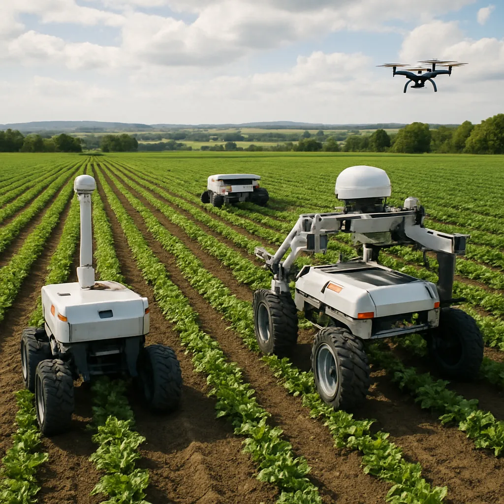
- Integration with ground robots to handle tasks such as precise weeding
- Advancements in battery life and solar charging for extended flight times
Embracing these developments will support more resilient, high-yield farming systems. The synergy between aerial platforms and traditional agronomic practices sets the stage for a new era of agricultural efficiency and global food security.